Posts

Showing posts from May, 2023

Last of the Chesapeake Bay
Image
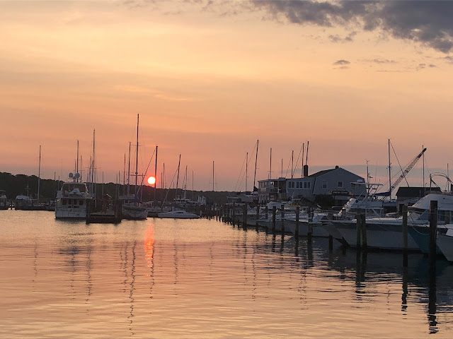
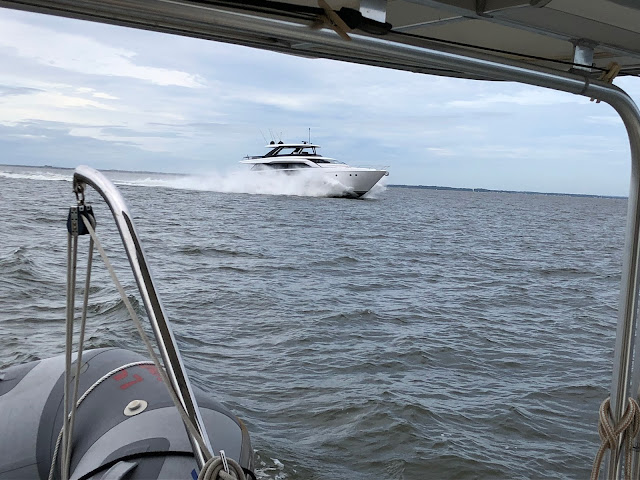
  TRAVEL DAY 56 - Baltimore to Havre de Grace May 30, 2023 6.5 Hours/48.5 Miles     The mighty Chesapeake Bay continues to narrow down as we move north and to the end. The phrase is "The Bay in May", but May has shown us a lot of days with wind from the north, which for this body of water is not helpful. Besides being cold, north winds come straight at us and the long fetch of the bay builds the seas.  Then there's "This Guy" blew close by us and threw a massive wake     We set our sights on Havre de Grace, MD, situated at the mouth of the Susquehanna River, and the head of the Chesapeake Bay. During the first Congress of 1789, this "harbor of grace" named after the French seaport of Le Havre, missed by one vote as being named the capitol of the United States. Havre de Grace Sunrise     A Small craft advisory was set for 6 pm tonight until 11 am tomorrow but today looked good so we made a break for it.  It was easy going today although we pus...

Chesapeake Bay Part IV

Image
  TRAVEL DAY 53 - Oxford to Tilghman Island May 19, 2023 1.53 Hours/13.1 Miles     What we thought would be a run to Annapolis, turned out to be a stop at Tilghman Island. The winds picked up considerably and the crew just wasn't feeling the need for a 6 hour ride in slop. Even though the winds were from the E/SE which essentially meant we would have following seas, we opted to end our day at Tilghman's Island. There is a cut through Tilghman's Island called Knapp Narrows, which makes traversing from our location on the Eastern Shore easier than going around Tilman Island. Commercial Waterman Boats     We had planned to top off our fuel tanks at Knapps Narrows Marina because at $3.30/gallon, it would be the cheapest fuel we have seen since South Carolina. The entrance to Knapps Narrows was tricky with a pretty stiff wind blowing the water into the entrance and the tide coming out. We called the bridge as soon as we were at the entrance so we would not have to ho...

Chesapeake Bay - Part III

Image
  TRAVEL DAY 50 - Point Lookout to Solomons, MD May 15, 2023 4.62 Hours/34.9 Miles     We have been on the boat for 3 months now and about 1500 miles under the keel. If it weren't for a ship's log, I would have a difficult time remembering when and where specific things have happened.   Solomons Sunrise     Every location we go to requires learning that body of water enough to navigate through it. Each area has specific weather patterns that affect the water. Different current and tide conditions determine how the boat is tied up or anchored.    I determined that the day would start out a little "lumpy" then gradually get better. Thankfully I was right. We left Smith Creek and the Potomac River and headed north on the bay again. As we past Point No Point lighthouse the seas started to lay down and the ride became more enjoyable. Point No Point Lighthouse     By the time we turned into the Patuxent River the conditions were perfect. We pa...